|
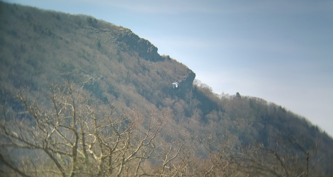
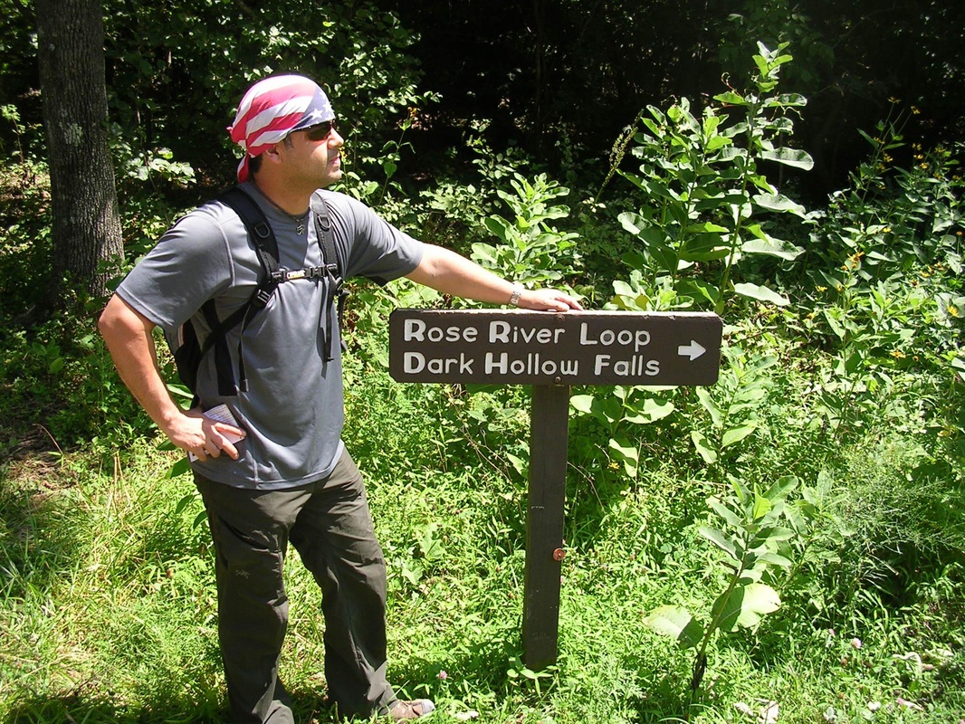
Ventured out to Shenandoah National Park yesterday, and I was happy to find that the trails are in excellent condition. The sky was a perfect shade of blue and the air was crisp. Below is a picture of me at Hawksbill Summit, the highest summit in the park. I'm getting photo bombed by Old Rag Mountain :-) Took a picture here (below) of Stony Man Mountain through my binoculars. The old man is looking forward to a lush green Shenandoah Valley, soon to be here!
Hey there, you! Yeah, you! The one who is about to take advantage of one of life's greatest gifts, HIKING! If you've made it here you're quite possibly looking for some trail information for Shenandoah National Park. Well, I got the goods for you! If you have any questions about any of the following hikes, or perhaps other hikes, feel free to drop me an email: whitecrowtours@gmail.com
Happy Trails... Note: Round trip hikes proceed to a destination and return by the same route. Circuit hikes begin and end at the same point without retracing steps. Stony Man Mountain Summit (4,010 ft) Type of hike: Round Trip Features: Spectacular views of Massanutten Mountain, the Shenandoah Valley, the Allegheny Mountains, New Market Gap, Skyline Drive, and Skyland Resort Trailhead: Stony Man Trail parking lot Estimated length of hike: 1.6 miles Estimated total elevation gain: 350 feet Recommendation: Great hike for children. Keep an eye out for Peregrine Falcons! Hawksbill Mountain Summit (4,051ft) Type of hike: Circuit Features: Spectacular view of Massanutten Mountain, the Shenandoah Valley, the Allegheny Mountains, Old Rag Mountain, the Virginia Piedmont and Skyline Drive Trailhead: Upper Hawksbill Trail parking lot Estimated length of hike: 2.1 miles Estimated total elevation gain: 525 feet Recommendation: A little more difficult than Stony Man, but still manageable for children. Highest summit in the park! 360 degree view! Rose River Falls (67ft)/Dark Hollow Falls (70ft) Type of hike: Circuit Features: Two waterfalls, dozens of pools, cascades and miniature falls, swimming holes, and the Cave family cemetery (still in use) Trailhead: Fishers Gap overlook parking lot Estimated length of hike: 4.3 miles Estimated total elevation gain: 1,045 feet Recommendation: A few steep climbs, best for those of moderate hiking experience. One of the most serene trails in the park! Mary’s Rock Summit (3,514 ft) Type of hike: Round Trip Features: Spectacular views of Massanutten Mountain, the Shenandoah Valley, the Allegheny Mountains, the Virginia Piedmont, Skyline Drive and the Thornton Gap entrance to the park Trailhead: Panorama upper parking lot Estimated length of hike: 3.7 miles Estimated total elevation gain: 1,200 feet Recommendation: No real steep sections, and an easy transition from hikes such as Stony Man and Hawksbill. Bouldering opportunities at the peak! 360 degree view! White Oak Canyon/Cedar Run Type of hike: Circuit Features: Two canyon hikes combined to make a circuit hike; 8 waterfalls (the tallest is 86ft high), dozens of pools, cascades, and miniature falls, swimming holes, and a natural granite waterslide Trailhead: White Oak Canyon parking lot (park boundary) Estimated length of hike: 8.0 miles Estimated total elevation gain: 2,500 feet Recommendation: Bring lots of water. Very Strenuous hike. The waterslide is so much fun! Old Rag Mountain Summit (3,291 ft) Type of hike: Circuit Features: Arguably the best mountain summit in the park, Large granite boulders, Spectacular views of the Blue Ridge Mountains, the Virginia Piedmont, and challenging rock scramble to get to the top Trailhead: Old Rag parking lot (park boundary) Estimated length of hike: 8.8 miles Estimated total elevation gain: 2,500 feet Recommendation: Bring lots of water. Very Strenuous hike with lots of people on the trail. The rock scramble is challenging but is a lot of fun. Best 360 degree view in the park! |
The White Crow BlogArchives
March 2020
Categories
All
|
| White Crow Adventure Tours, LLC |
|


 RSS Feed

